1a: Geospatial Data Wrangling with R
The code chunk below uses
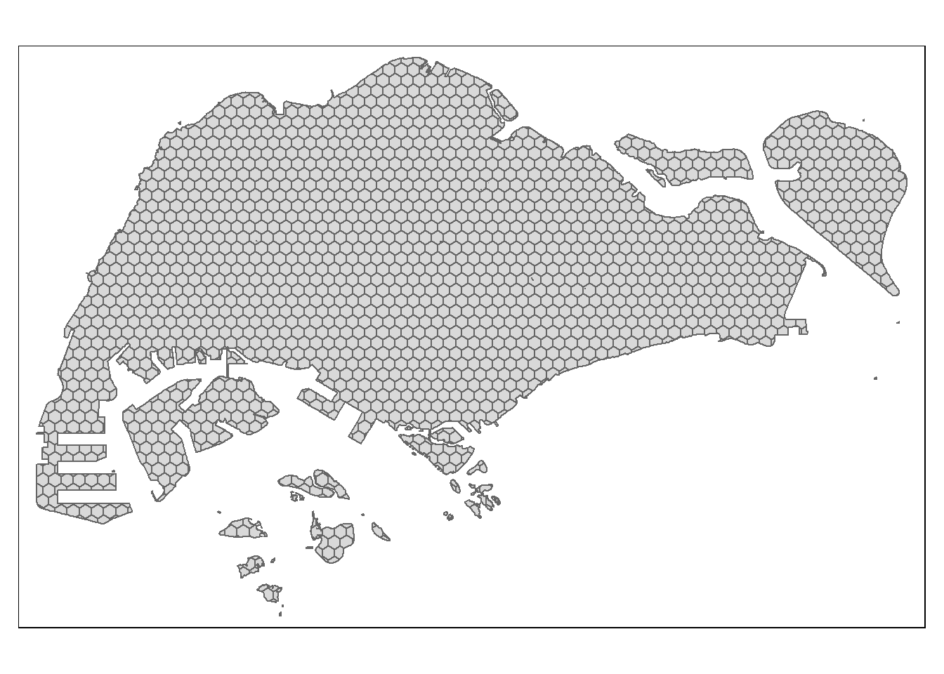
p_load() of pacman package to check if the required packages have been installed on the computer. If they are, the packages will be launched.
Nov 17, 2023